What Data Do We Use?
Settings by Rendering Quality
- ULTRA = highest available clutter and elevation data.
- VERY HIGH = up to 1/9th arc second clutter where available and highest available elevation data.
- HIGH = up to 1/9th arc second clutter and elevation where available.
- MEDIUM = 1/3 arc second for clutter, 1/9th elevation where available.
- LOW = 1/3 arc sec data for both.
- VERY LOW = 1 arc second data for both
1 Meter Data has been updated for Michigan. 6/9/2026

1 Meter Data and 1/3 Arc Data has been updated for Colorado 5/26/2026

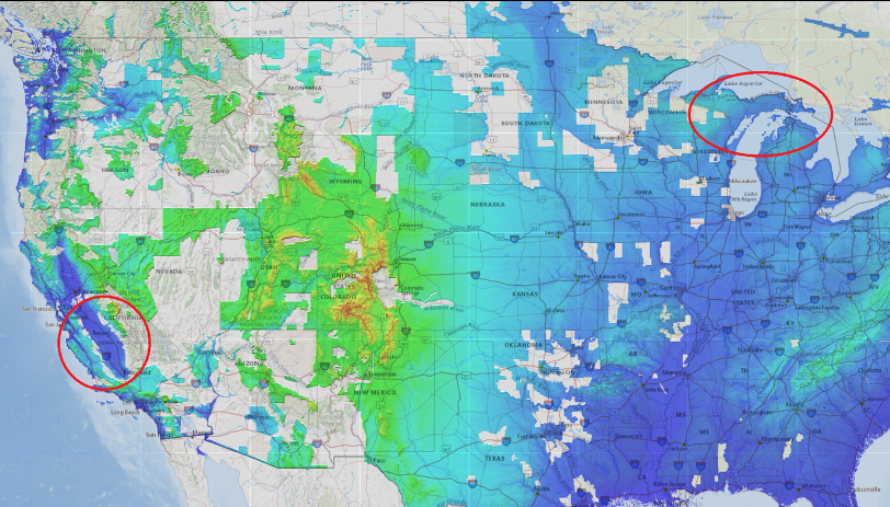
1 Meter Data has been updated for California 4/15/2026

1 Meter Data has been updated for California 2/24/2026

New Elevation TW19 Data has been added for Missouri 1/26/2026

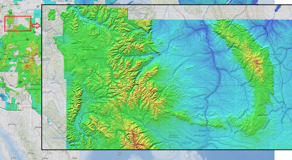
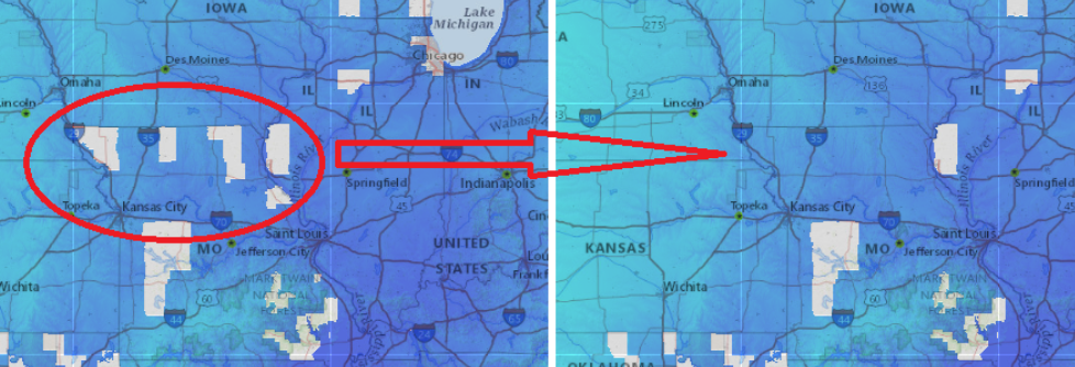
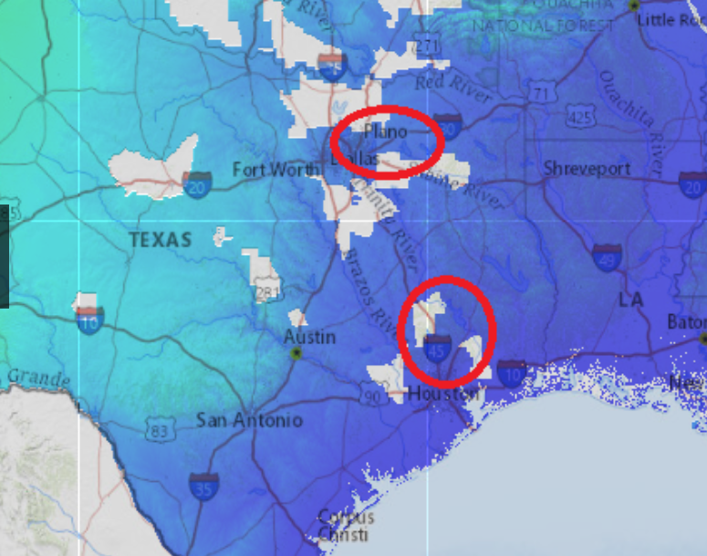
1 Meter Data has been added for Idaho, Minnesota, Nevada, Oregon, and Texas 1/26/2026

1 Meter Data has been added for Southern California 1/13/2026

Data has been updated for New York, Ohio and Pennsylvania 12/15/2025


1 Meter Data has been updated for Arkansas, Connecticut, and Massachusetts 12/1/2025


1 Meter Data has been updated for Connecticut 11/10/2025

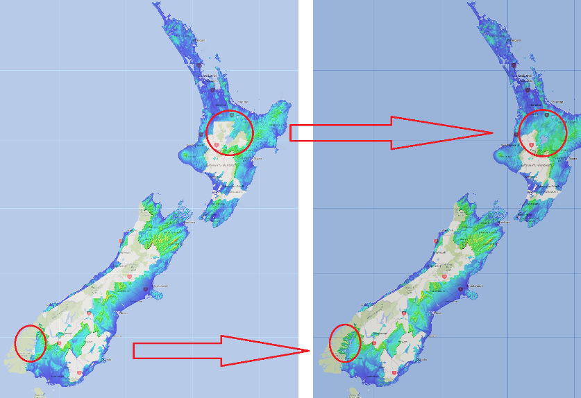
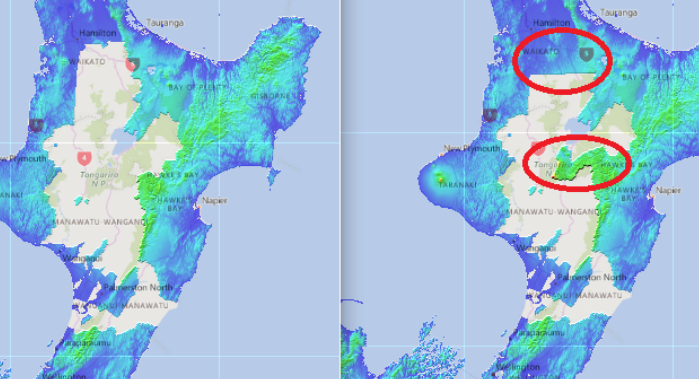
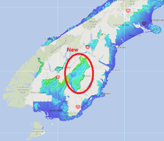
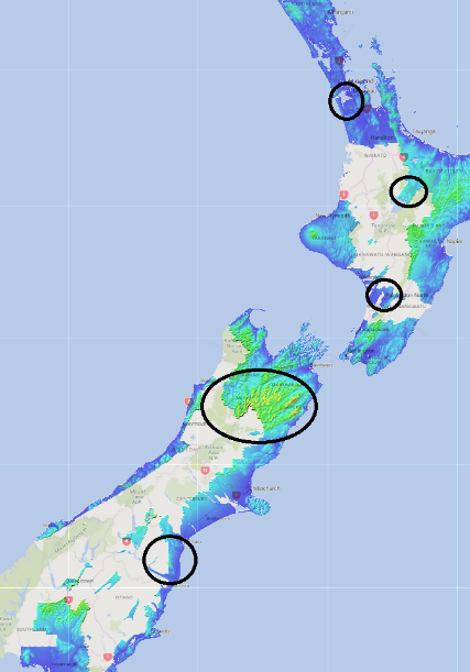
Lidar Data has been updated for New Zealand 10/27/2025

1 Meter Clutter Data has been updated for New Zealand 10/15/2025

1 Meter Clutter Data has been updated 8/19/2025

1 Meter Clutter Data has been updated 7/21/2025

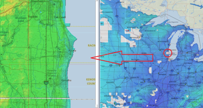
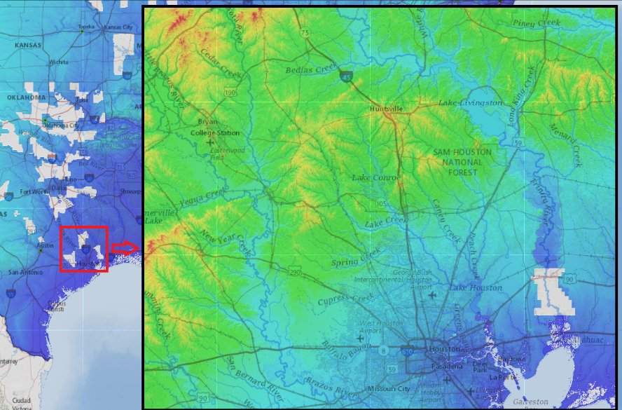
1 Meter Clutter Data has been added for Texas 6/3/2025

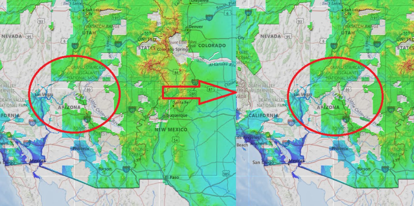
TC Best Data has been updated for Arizona 2/18/2025

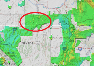
TC Best Data has been updated for Nevada 1/24/2025

TC Best Data has been updated for Oklahoma 1/6/2025

TC Best Data has been updated for Maine 12/16/2024

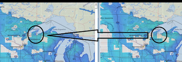
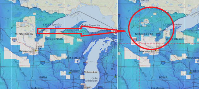
TC Best Data has been updated for Minnesota 12/16/2024

TC Best Data has been updated for California 12/16/2024

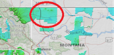
TC Best Data has been updated for Montana 12/2/2024

TC Best Data has been updated for Utah 11/4/2024

TC Best Data has been updated for North Dakota 10/28/2024

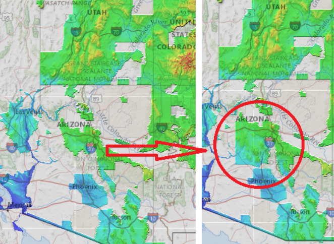
TC Best Data has been updated for Arizona 10/22/2024

Lidar Data has been updated for the United States 10/15/2024

Lidar Data has been updated for New York 10/15/2024

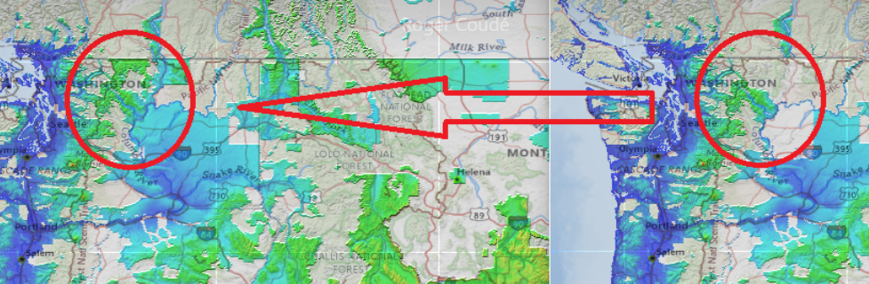
TC Best Data has been updated for Washington 9/23/2024

TC Best Data has been updated for Minnesota 8/19/2024

TC Best Data has been updated for Minnesota 8/12/2024

TC Best Data has been updated for North Dakota 7/29/2024

TC Best Data has been updated for New Zealand 7/22/2024
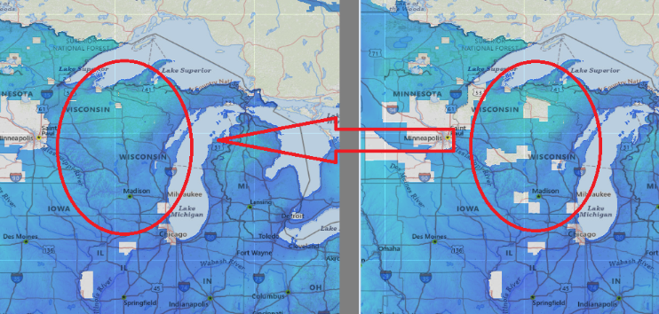
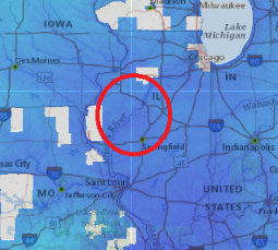
TC Best Data has been added for Wisconsin and Illinois 7/11/2024
New Lidar data has been added for Wisconsin 7/3/2024
New Lidar data has been added for Nevada 6/26/2024

TC Best Data has been updated for Washington 6/21/2024
TC Best Data has been updated for Arizona 6/21/2024
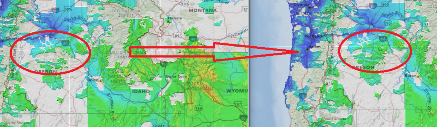
TC Best Data has been updated for Oregon 6/7/2024
TC Best Data has been updated for Idaho 6/3/2024

TC Best Data has been updated for Arizona and New Zealand 5/29/2024
TC Best Data has been updated for Wisconsin 5/20/2024
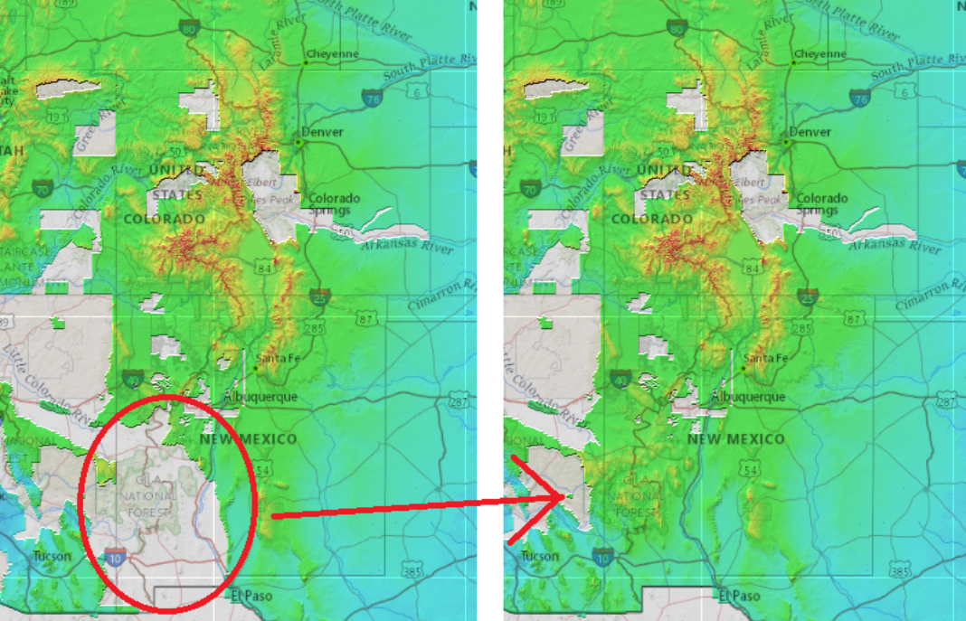
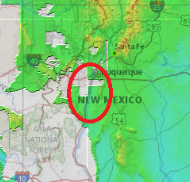
TC Best Data has been updated for New Mexico 5/6/2024
TC Best Data has been updated for New Mexico 4/25/2024
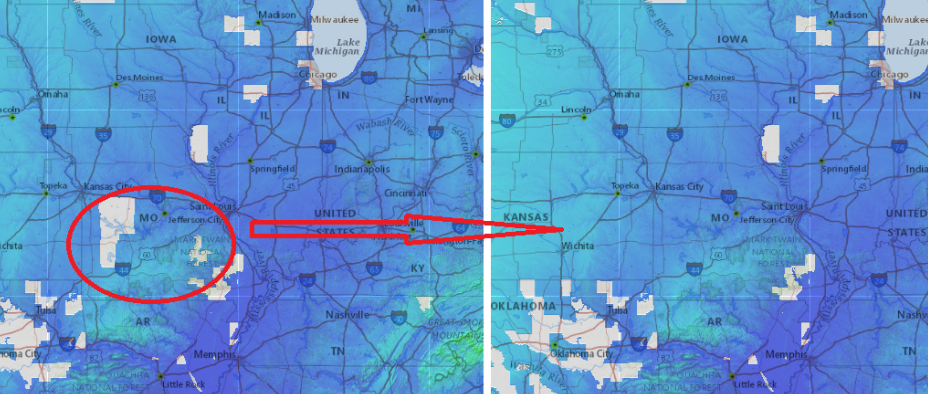
TC Best Data has been updated for Missouri 4/12/2024
TC Best Data has been updated for Arizona and Minnesota 4/4/2024
TC Best Data for Texas has been updated 4/1/2024
TC Best Data for Wyoming has been updated 3/29/2024
TC Best Data for Northern Missouri has been updated 3/27/2024
TC Best Data has been updated for New Zealand 3/1/2024
TC Best Data has been updated for Texas 2/12/2024
TC Best Data has been updated for California, Wisconsin, and Michigan 2/9/2024
TC Best Data has been updated for Utah 1/31/2024
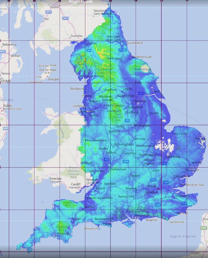
Lidar Data has been updated for England 1/29/2024
TC Best Data has been updated for Manitoba province, Prince-Edward-Island province and NY state 1/22/2024
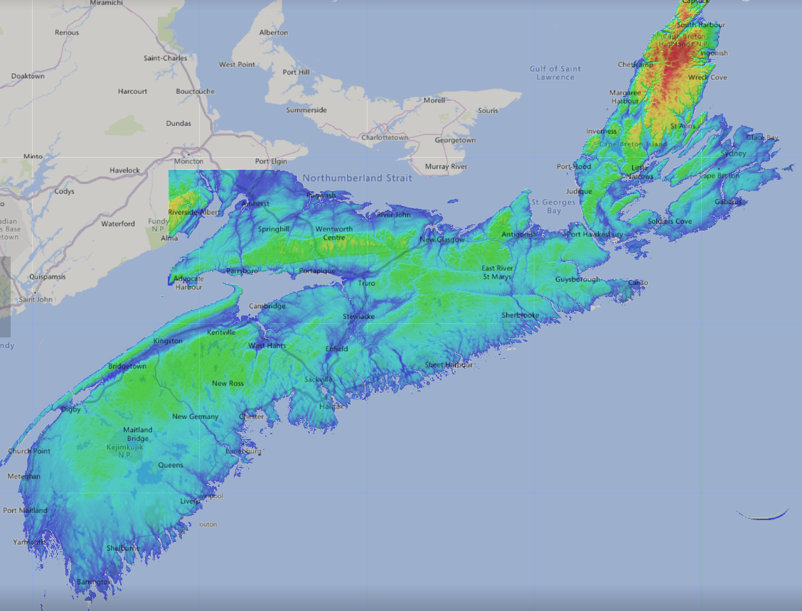
TC Best Data has been updated for Nova Scotia 1/22/2024
TC Best Data has been updated for Minnesota as well as Quebec, Ontario and New Brunswick Canada 1/29/2024
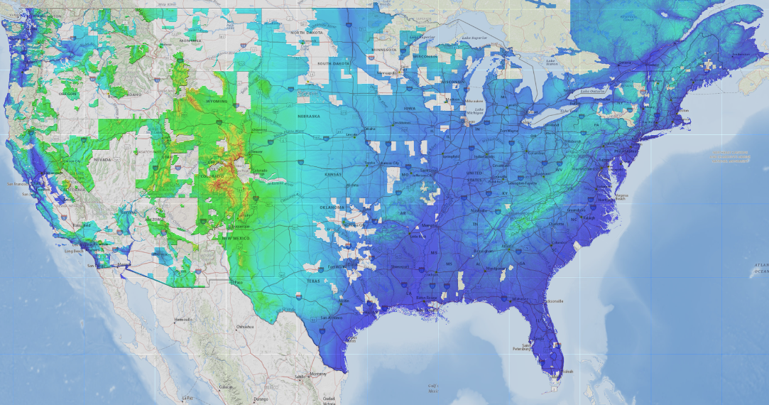
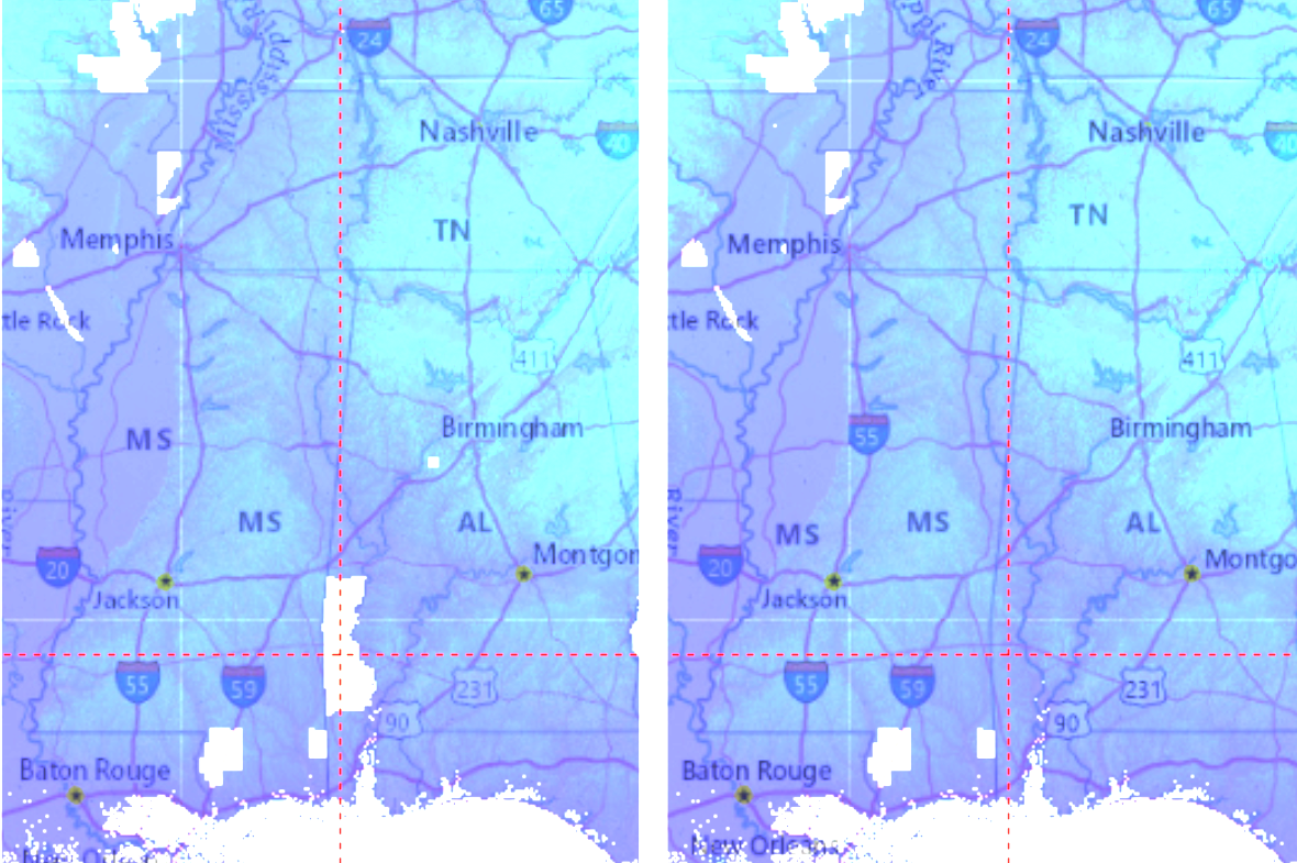
TC Best Data has been updated all over the United States 1/9/2024
New Lidar data sets have been added for Florida and Oregon 12/21/2023
Nevada Lidar Data along with Lidar data from New Zealand has been updated 12/15/2023
Lidar Data has been updated for New Zealand 11/29/2023
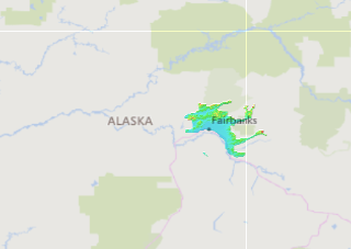
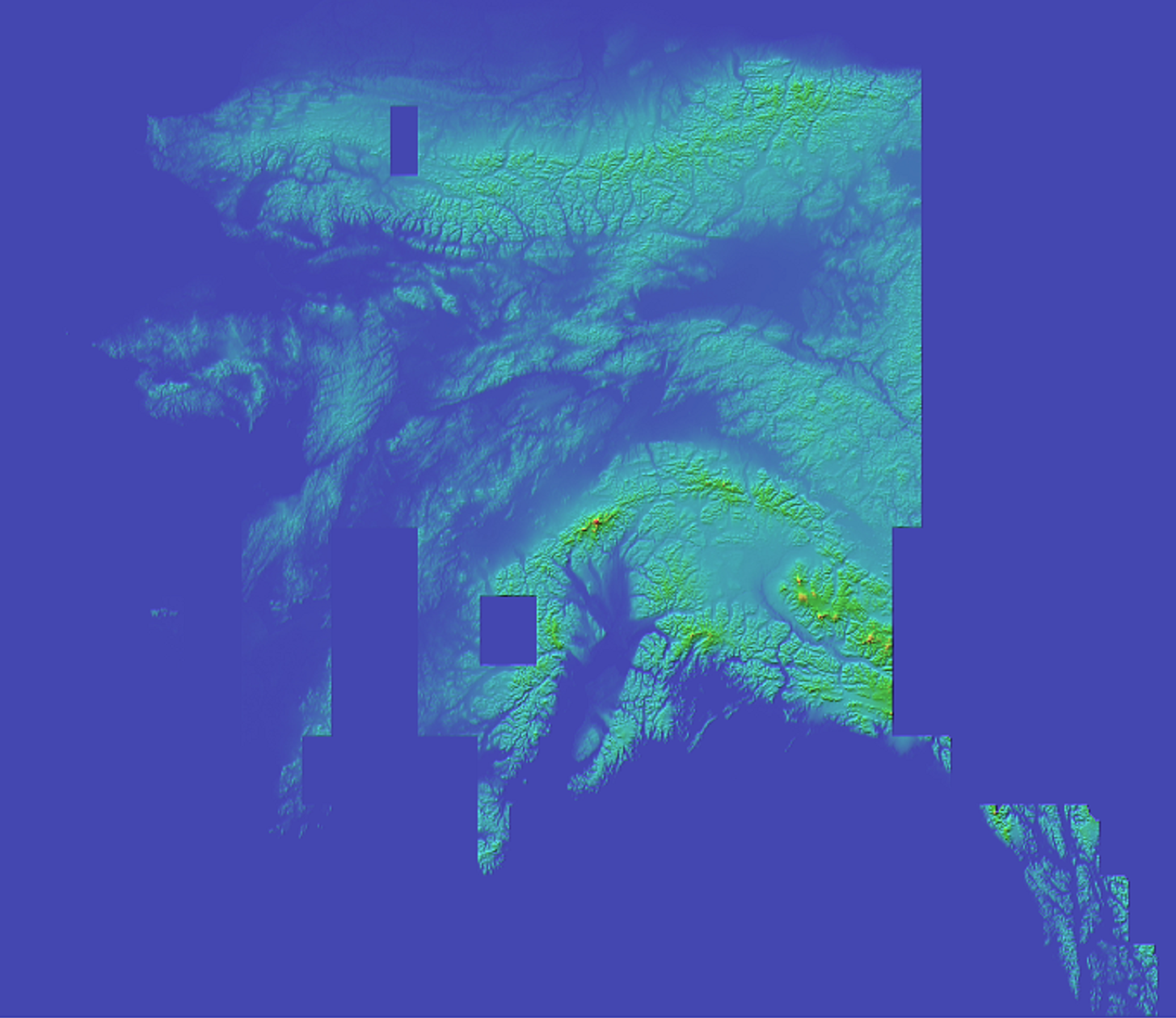
The BestData Set for New Zealand and Alaska has been updated 10/2/2023
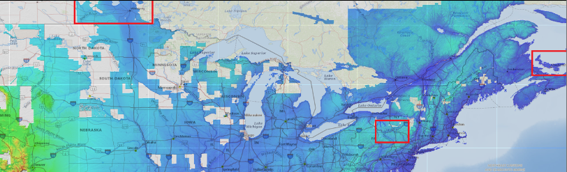
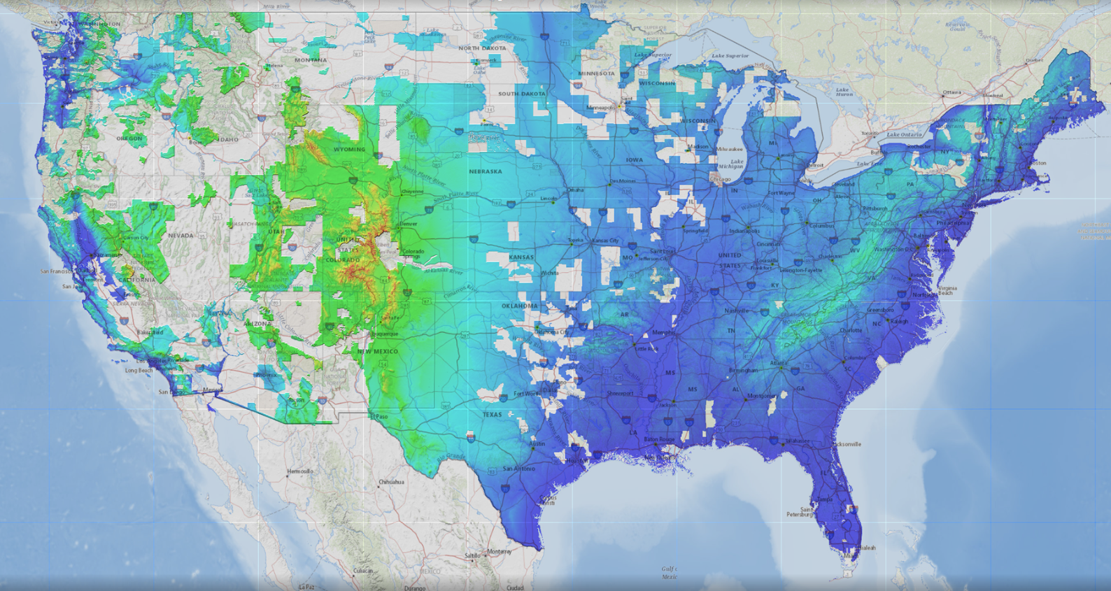
The BestData Set for the United States has been updated 9/14/2023
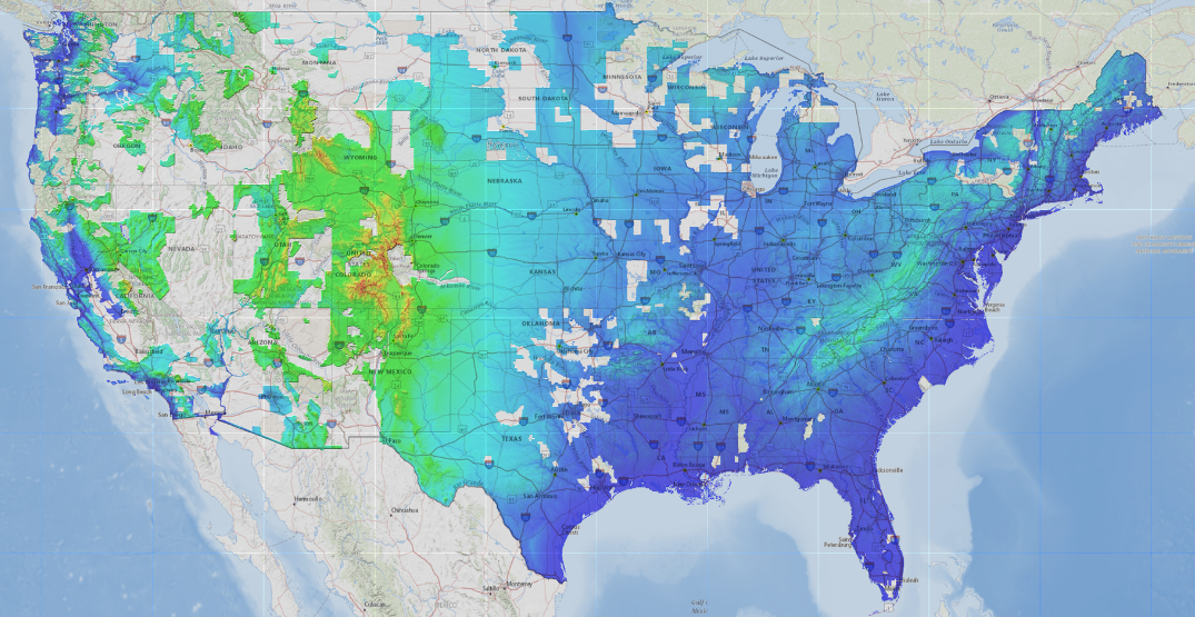
New BestData Update in the USA
Lidar Data for New Zealand has been Updated 7/5/2023
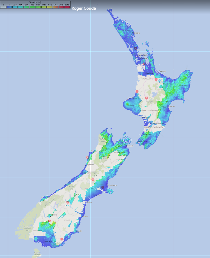
Updated Lidar Image for New Zealand
1 Meter Data has been added East of Denver 6/7/2023
1 Meter Data
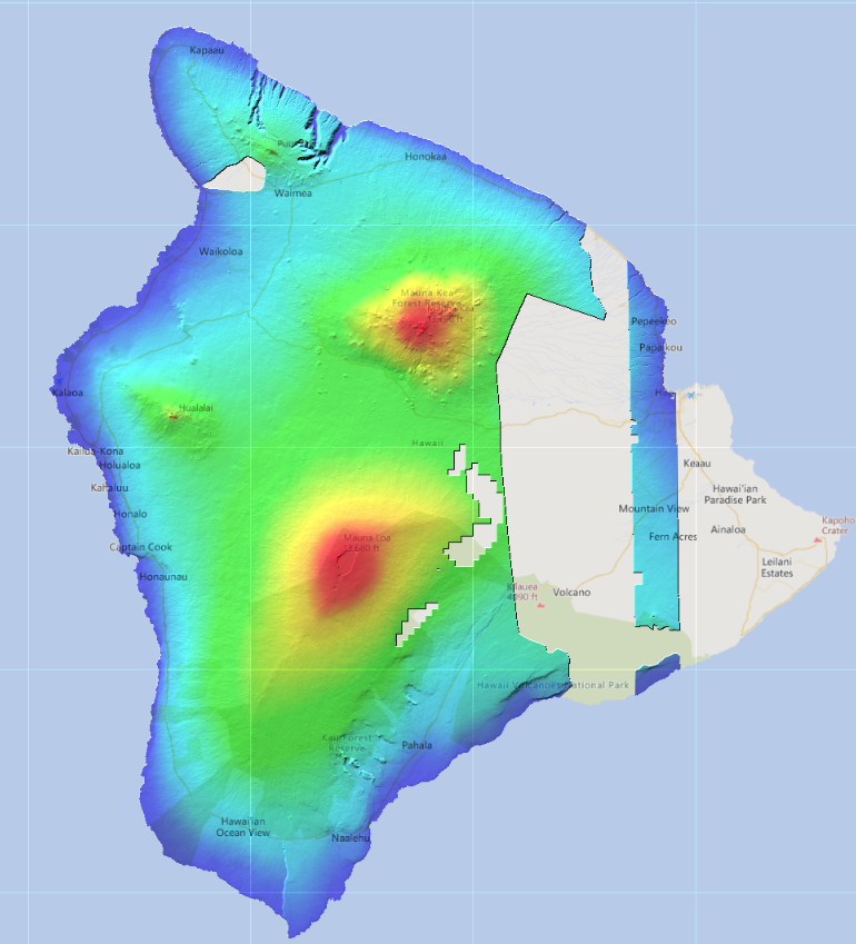
Lidar Data for Hawaii has been Updated 5/26/2023
Updated Lidar Image for Australia
Lidar Data for Australia has been Updated 5/12/2023
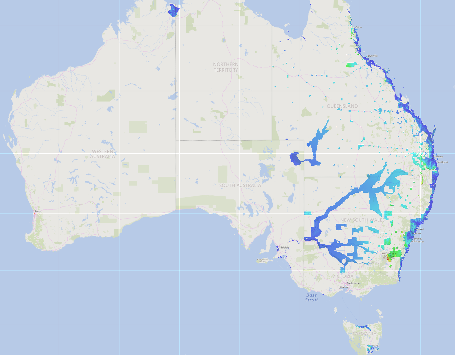
Updated Lidar Image for Australia
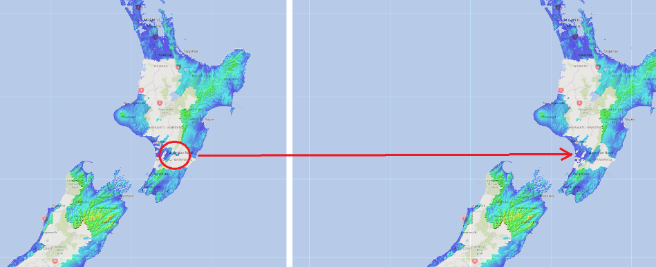
Lidar Data for New Zealand has been Updated 5/8/2023
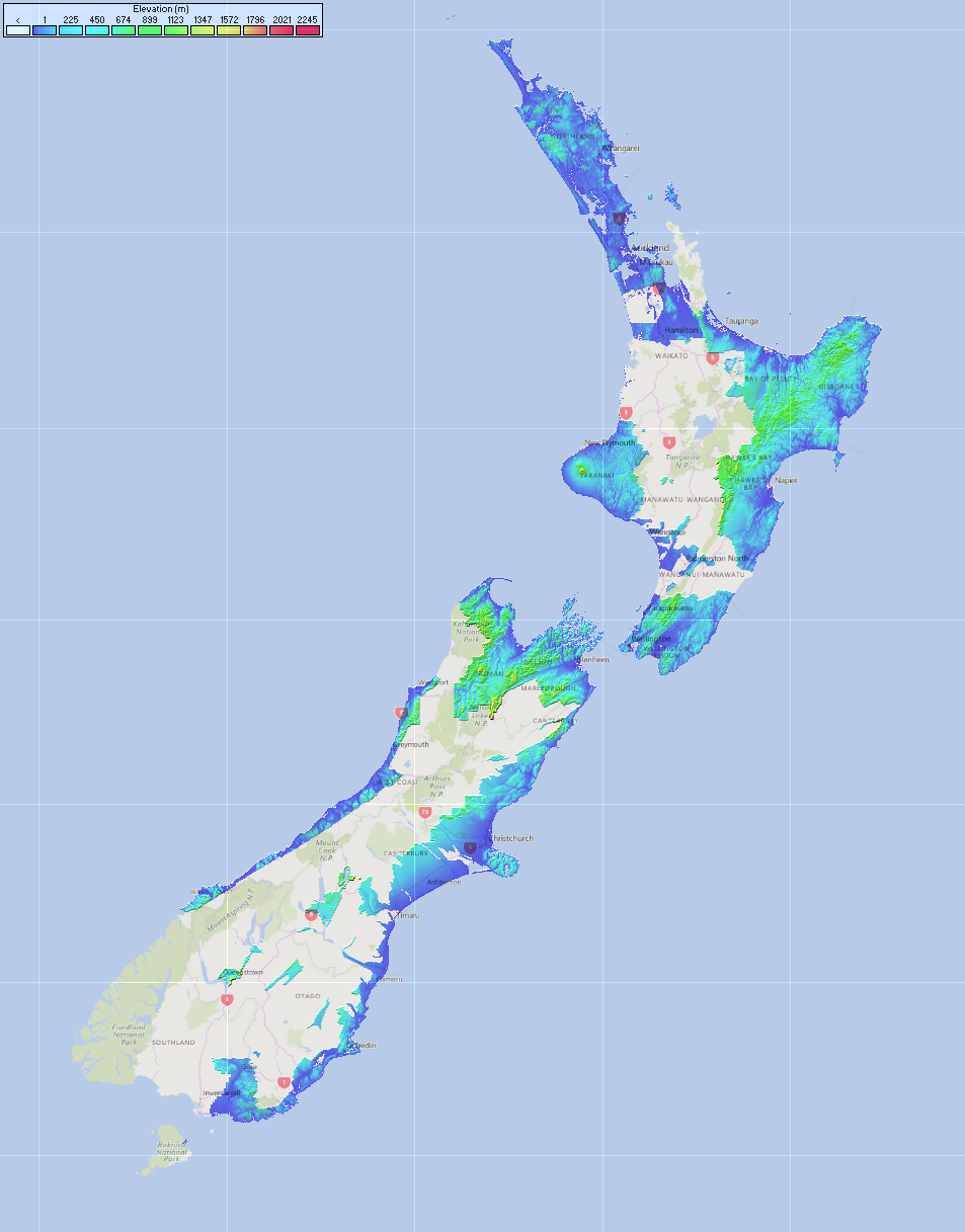
Updated Lidar Image for New Zealand
Lidar Data is now available for New Zealand 4/24/2023
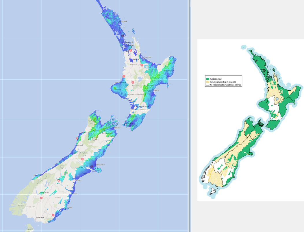
Lidar Image for New Zealand
The USGS Data set has been updated as of 2/15/2023
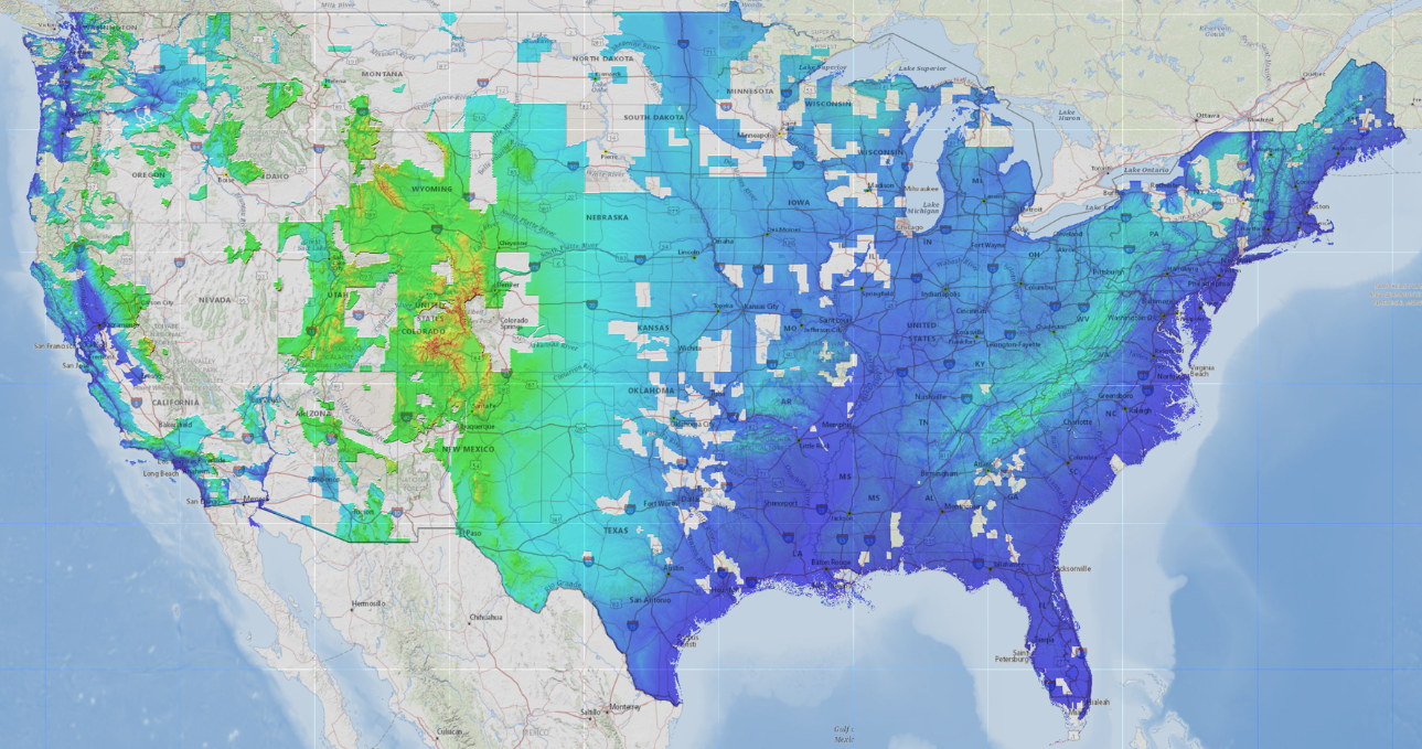
1 Meter
The USGS Data set has been updated as of 1/5/2023
1 Meter
The USGS Data set has been updated as of 12/12/2022
Updated USGS
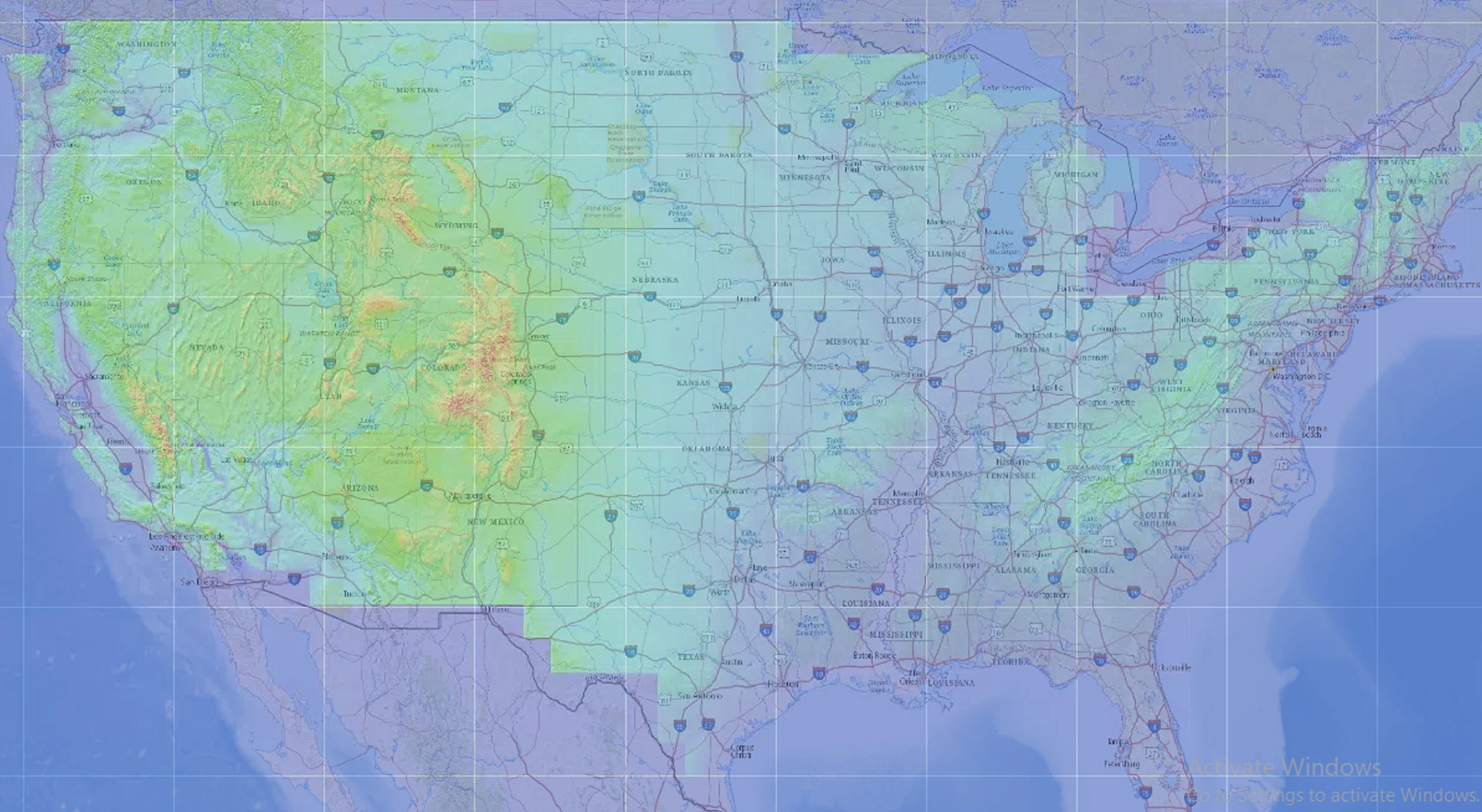
As of 8/2/2022, 1/9 ARC Data is available for the United States
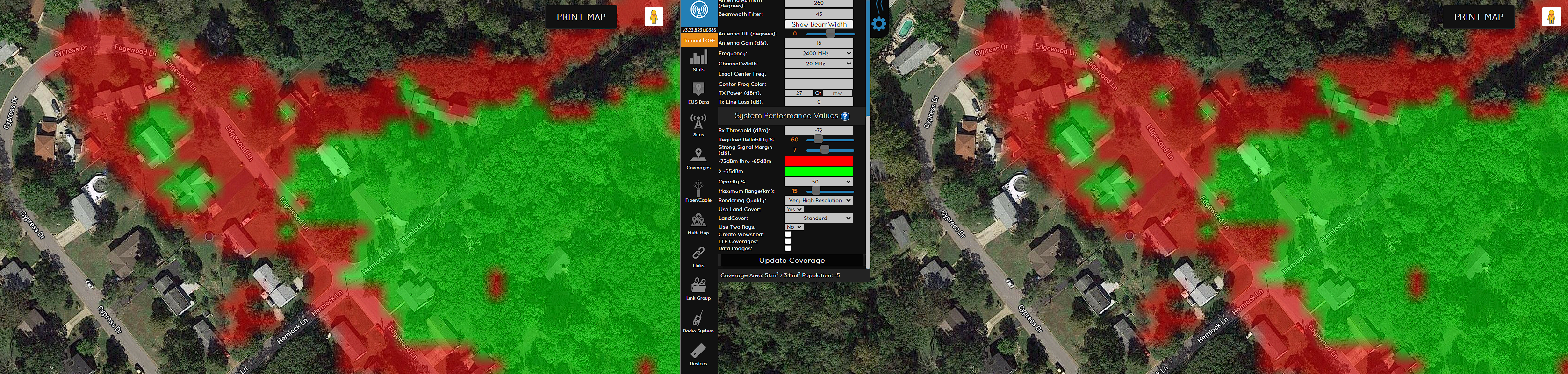
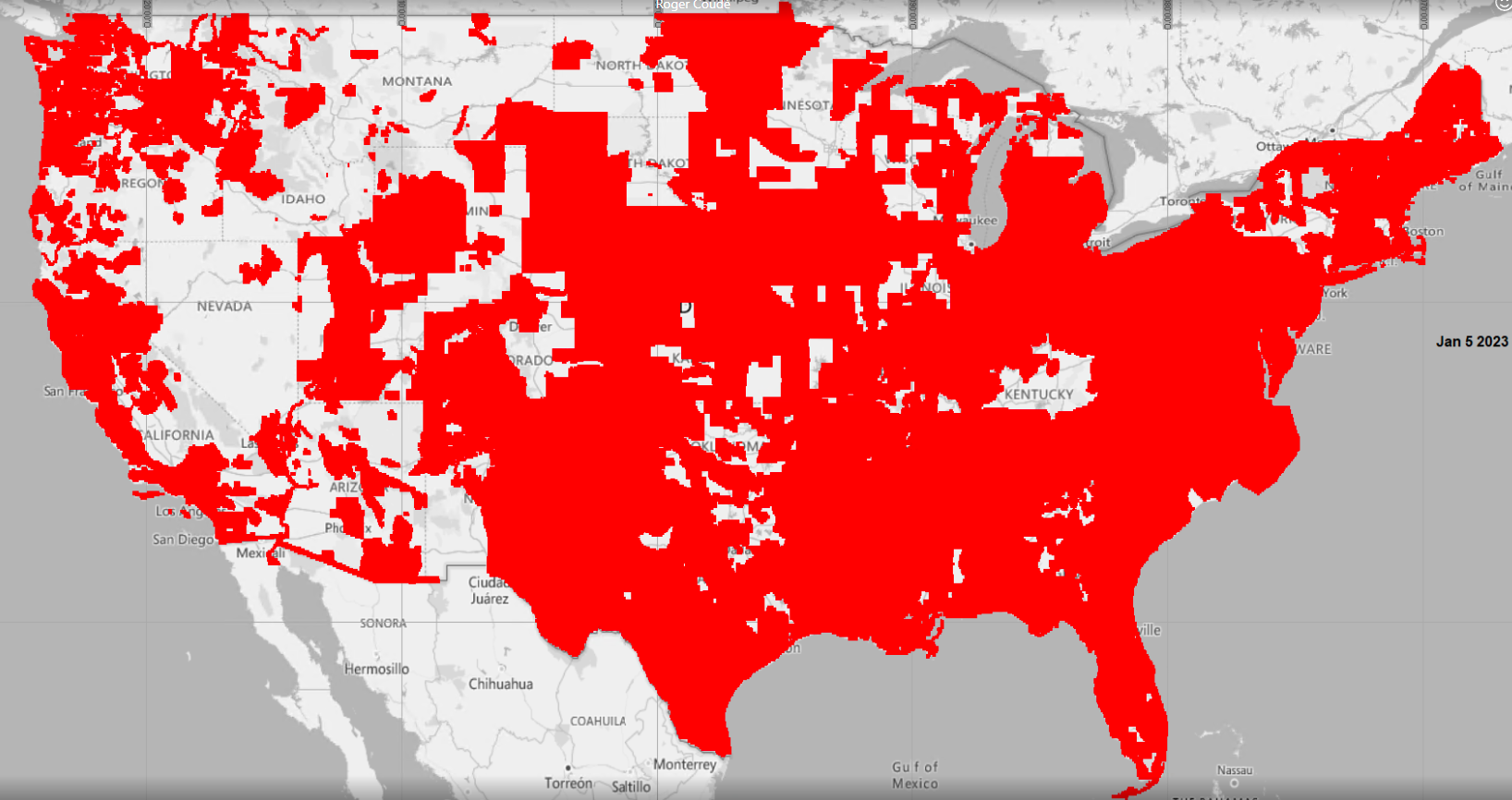
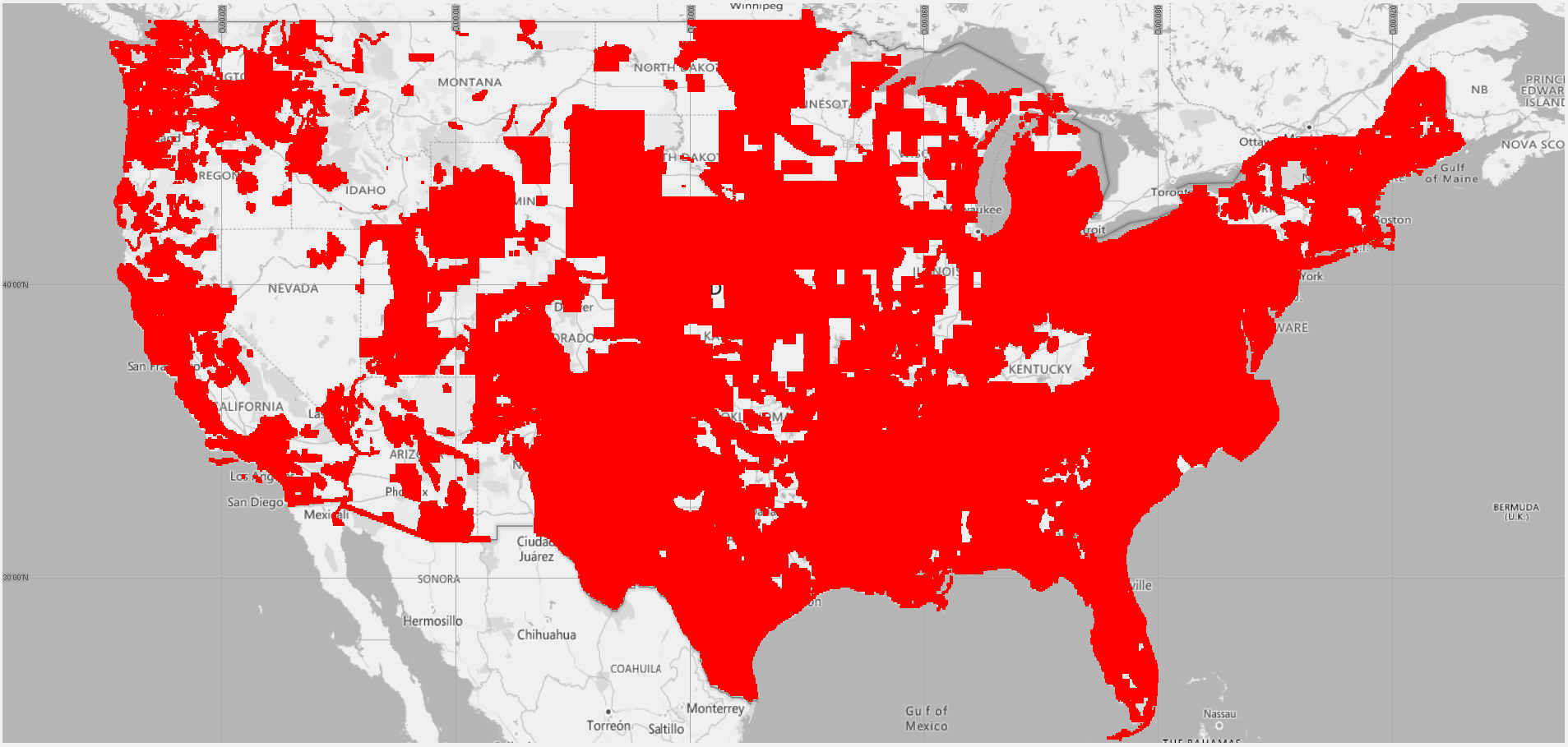
Ultra Vs Very High
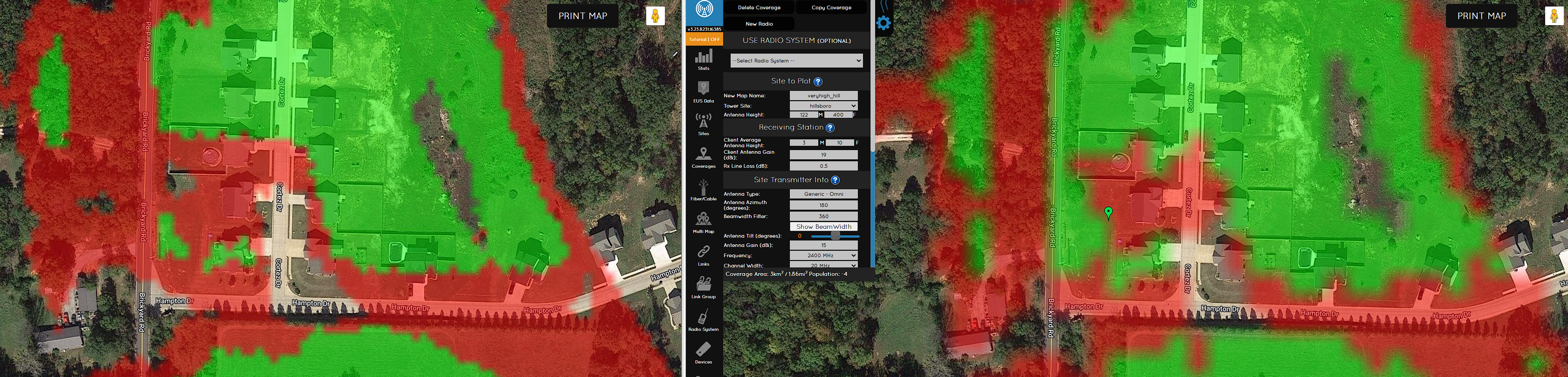
Ultra High Vs High
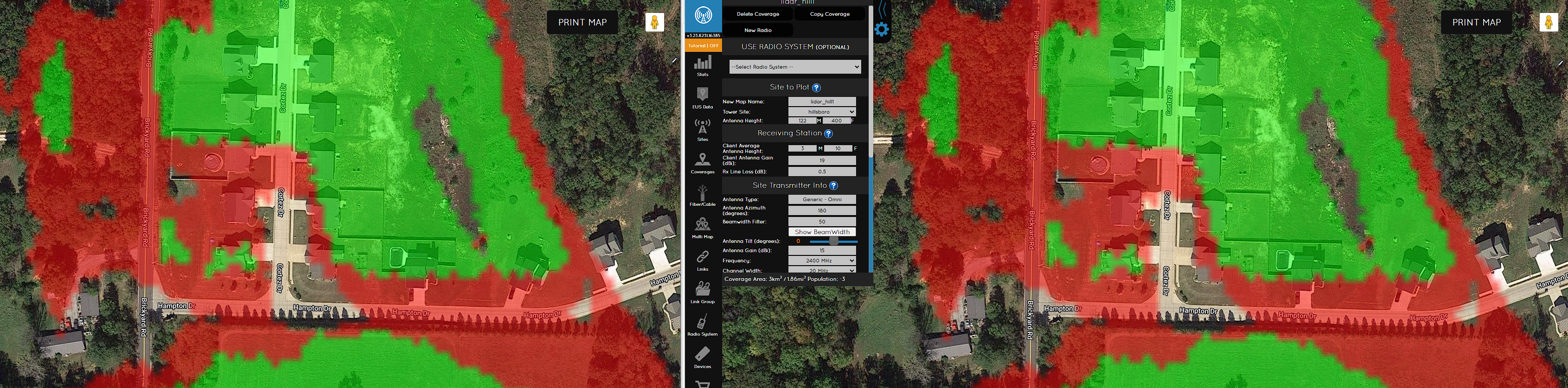
Ultra High Vs Medium
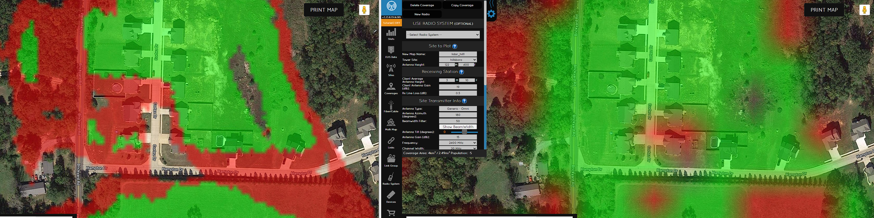
Ultra Vs Low
As of 2/24/2020, USGS Landcover for the lower 48 has been updated to 2016 data
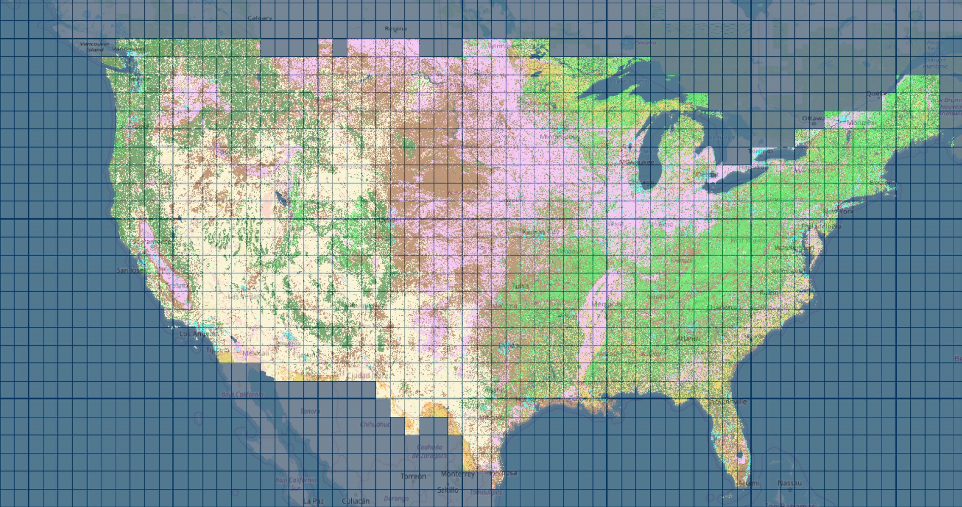
USGS Updated data
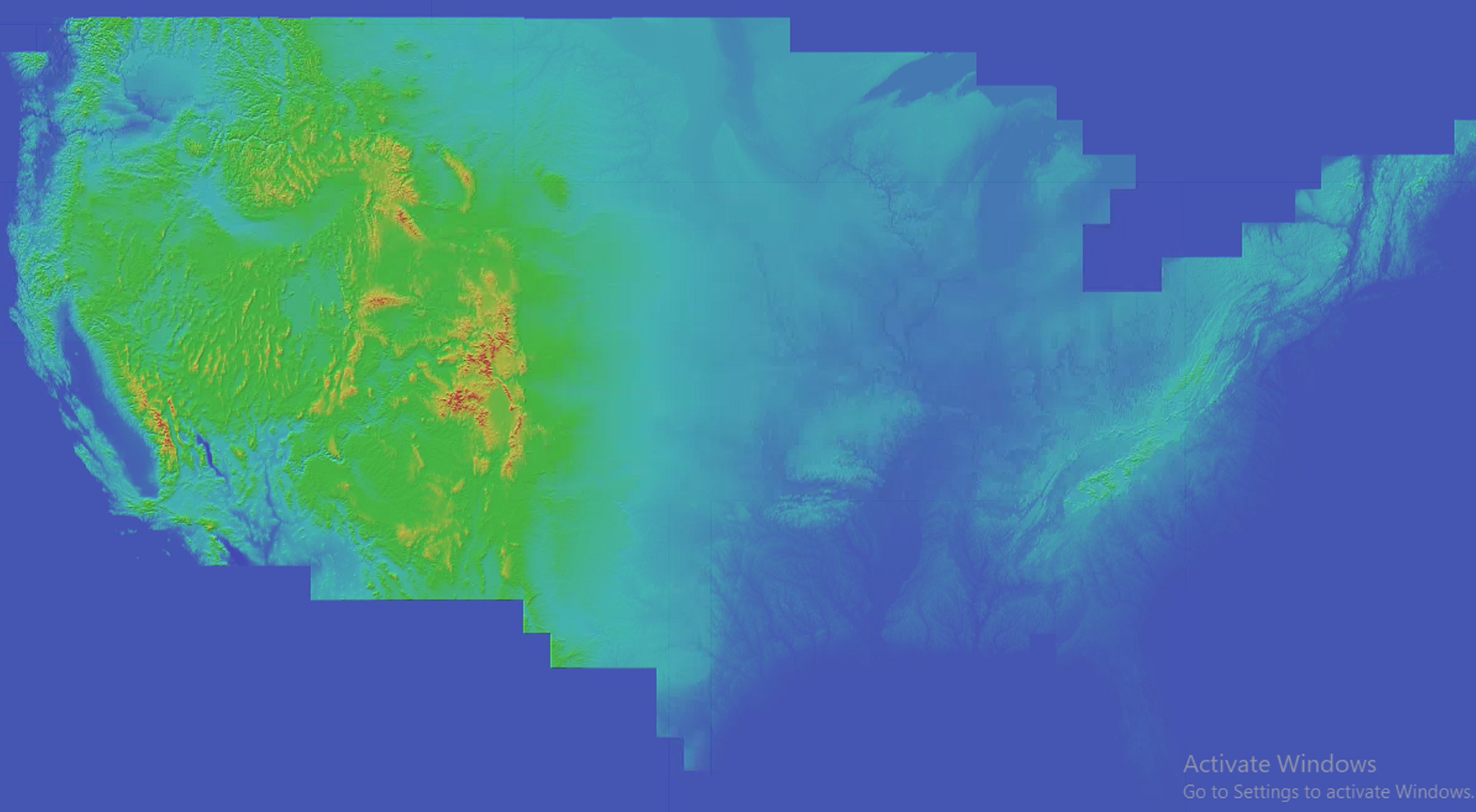
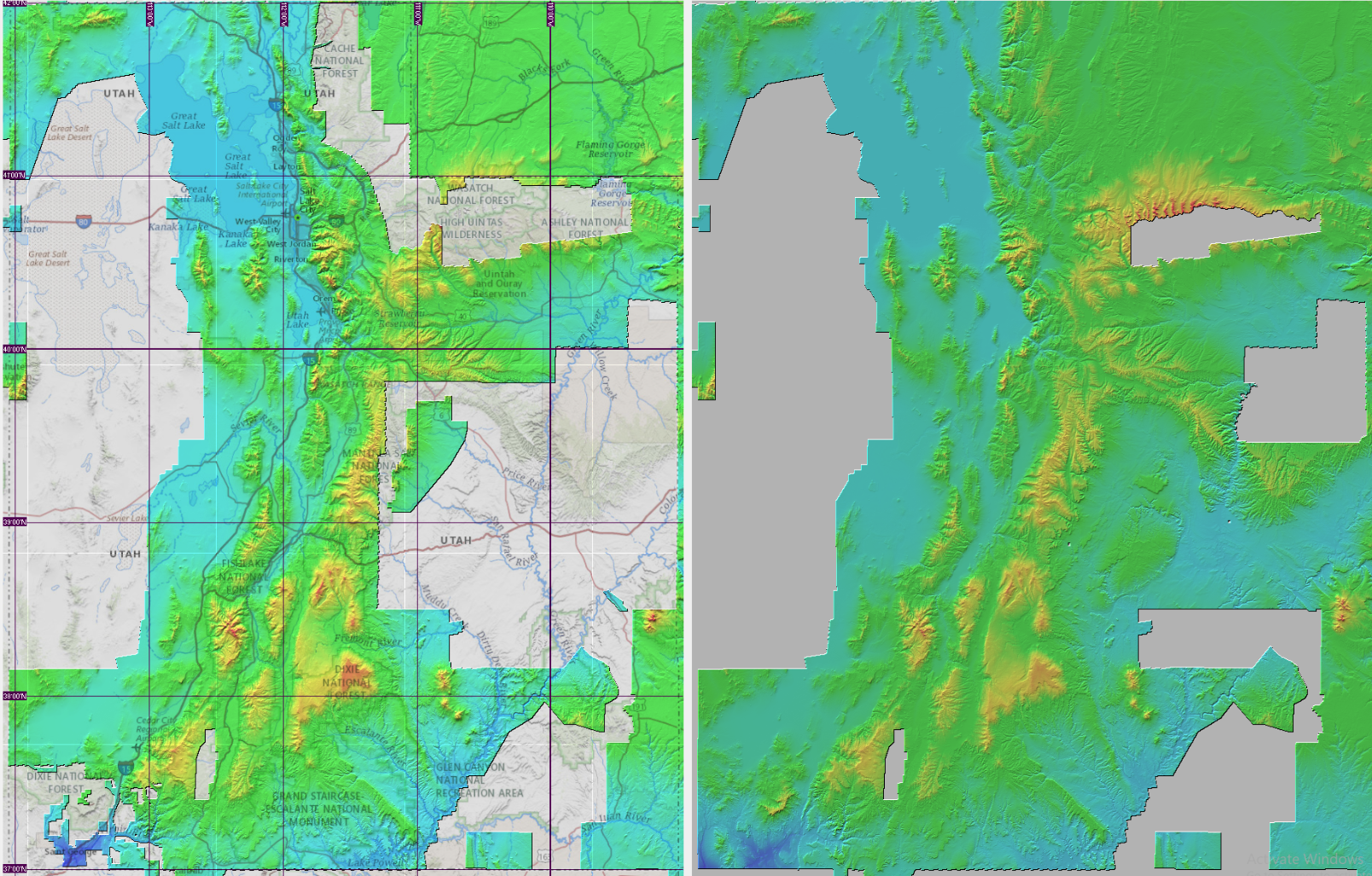
Elevation data sources
Resolution of Elevation Data
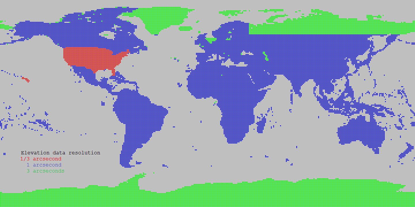
Source Shuttle Radar Topography Mission (SRTM) data products 1 arcsecond
Source for Alaska: USGS Alasaka NED 2 at Seamless data distribution system
Source for Northern Canada and void filling: Natural Resources Canada CDED at Geobase
Source for Northern Canada and void filling: Natural Resources Canada CANVEC at Geobase
Source for Northern Canada and void filling: ASTER
Source of SRTM Void filled for Eurasia: Viewfinder Panoramas
Land cover data sources
Landcover Resolution
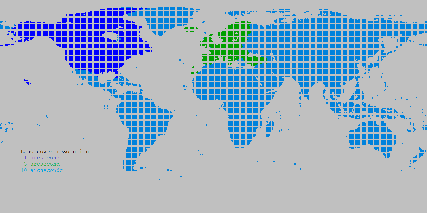
Source Canada: Natural Resources Canada Circa 2000 at Geobase
Source Europe: Corine landcover at European Environment Agency
Source World: GlobCover at European Environment Agency